top of page

GeoInformatics for Information Systems

OUR GALLERY
Who we are?
"Geoinformatics for Information System" is a company operating under the framework of the internal investment system, in accordance with the provisions of Investment Law No. 72 of 2017 and its Executive Regulations. Our headquarters are located in Sheikh Zayed, 6th of October City, Giza. Our strategic location allows us to effectively serve Egypt and neighboring regions, including Arab and African countries.
Our primary mission is to support and enhance the information technology industry, aligning it with the needs of society. We are committed to leveraging geospatial technology to drive progress, foster innovation, and contribute to the development of the regions we serve."
Services

Innovative Geoinformatics Solutions for a Sustainable Future
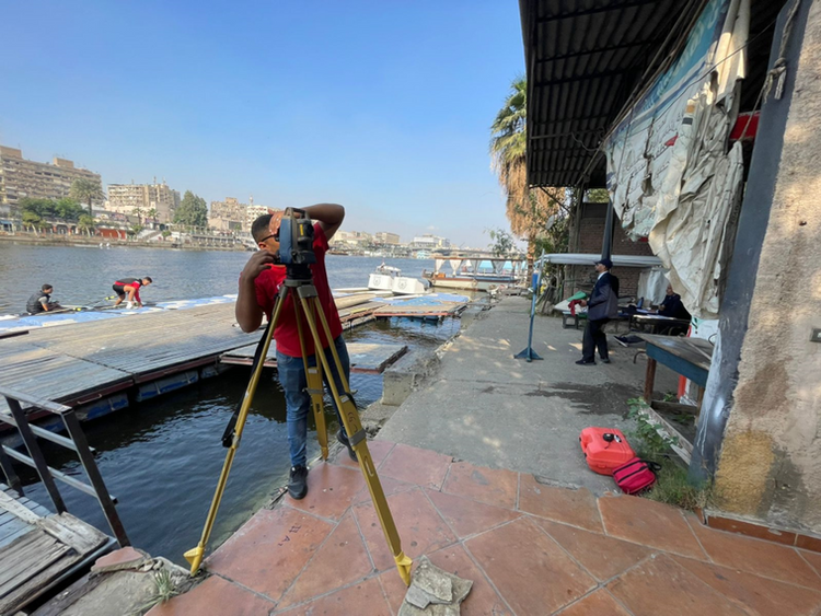
Discover the power of geoinformatics through our diverse range of cutting-edge projects. From conducting Floods Risks Analysis and assessing the Impact on Critical Infrastructure to undertaking Hydrological Topographic Studies and mapping Routes of Sustainability Development, we are at the forefront of innovative solutions. Our expertise extends to Monitoring Land Use changes, generating Crop Maps for optimizing agricultural revenue, analyzing the Density of Urban Areas, and crafting precise Digital Elevation Models for spatial accuracy. With advanced 3D Visualization & Analysis, Ground Penetration Radars for subsurface exploration, and Utility Network Tracing for efficient resource management, we redefine possibilities. Engage with us in Architectural Design for new cities, explore the convergence of Culture & Technology, and witness our commitment to excellence in Urban-Planning Design Competitions. Elevate your understanding of geoinformatics with projects like Food Security Management, Crop Classification maps for Delta, and the strategic mapping of crops like Wheat. Join us on a journey towards sustainable, informed decision-making and a future shaped by innovation.

CLIENTS
Working With the Best
Widget Didn’t Load
Check your internet and refresh this page.
If that doesn’t work, contact us.
bottom of page


